The East Coast dive-site guide

One coastline.
So much to discover.

From Skegness to Scarborough, with Cleethorpes at the heart of the journey. Explore documented wrecks and reef locations, then talk to Andi about the possibilities.

Wrecks · Reefs · Marine life

Find your next
point of interest.

A researched introduction to this stretch of the North Sea, with photographs, location links and a little of the story behind each place.

A starting point for a conversation. These are researched locations, not a confirmed Trident 22 trip schedule. Andi will confirm which sites can be offered and where a trip would depart.

Get your bearings

Explore the coastline.

SKEGNESS → CLEETHORPES → SCARBOROUGH
WreckReef & wildlifeSelect a site from the list. Interactive pins are loading.
Coast overview

Skegness to Scarborough

Choose a pin or a site from the list to explore its approximate area.

↗
SELECT A LOCATION

16 locations

Cleethorpes is the company’s home-coast focus. Actual departure arrangements are confirmed for each trip.

Area markers only — not navigation or dive-entry positions. Pins are rounded to two decimal places. Published depths are historical guides, not current soundings. Use current charts, local knowledge and an agreed dive plan.

Pick your perspective

Stories below.
Places to explore.

Showing all 16 researched sites.

Photograph looking across Skegness beach towards the North Sea01Steamship wreck
Skegness coastline · Regional view, not the wreck Photo source ↗

Off Skegness · Lincolnshire

SS Trignac

A French cargo steamer lost to a mine in February 1916. The published dive record describes substantial machinery remains, making this an intriguing historic wreck off the Lincolnshire coast.

Published depthAbout 21 mPublished in the 2010–11 dive sheet; not a current sounding.
Approximate area53.39°N · 0.74°EOffshore, north-east of Skegness

An offshore boat-diving enquiry. Andi needs to confirm the location, conditions and trip feasibility.

Sources & photograph credit
East Coast Diving · Trignac dive sheetLoss history · uboat.net

Ian Paterson / Geograph. CC BY-SA 2.0. Displayed in a cropped frame; original photograph linked above. No endorsement implied.

Historic black-and-white photograph of the ocean liner MS Piłsudski at New York02Ocean-liner wreck
MS Piłsudski · Historic vessel photograph Photo source ↗

Outer Humber · Offshore Yorkshire

MS Piłsudski

Once a Polish ocean liner, Piłsudski was converted for troop transport and sank in 1939. A club expedition describes a large wreck in three sections: a substantial offshore site with a compelling maritime story.

Published depthAbout 34 mReported by East Cheshire SAC in 2021; depth varies with tide and position.
Approximate area53.76°N · 0.76°EFar offshore, east of the Holderness coast

A deeper, distant offshore site. Suitable experience and a carefully planned boat trip are essential; availability is not assumed.

Sources & photograph credit
East Cheshire SAC · 2021 expeditionHull BSAC diver report · 2002 reproduction

Historic photograph via Wikimedia Commons; uploaded by Topory/WarXboT. Public domain, as recorded by Commons. Displayed in a cropped frame; original photograph linked above. No endorsement implied.

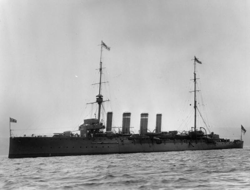
Historic broadside photograph of the cruiser HMS Falmouth in 191403First World War cruiser
HMS Falmouth, 1914 · Historic vessel photograph Photo source ↗

Skipsea · South of Bridlington

HMS Falmouth

A veteran of the Battle of Jutland, Falmouth sank in August 1916 after repeated torpedo attacks. Its broken remains and recognisable boilers make it a well-documented part of the Yorkshire coast’s naval history.

Published depthAbout 17 mScarborough SAC’s published figure; confirm actual depth for the tide.
Approximate area53.99°N · 0.07°WOff Skipsea, south-east of Bridlington

A historic wreck to treat with care. Confirm current permissions, site conditions and suitability with Andi.

Sources & photograph credit
Historic England · The Wreck of HMS FalmouthScarborough SAC · local wreck information

H. Symonds & Co / Imperial War Museums Q 21243, via Wikimedia Commons. Public domain, as recorded by Commons. Displayed in a cropped frame; original photograph linked above. No endorsement implied.

Photograph of the chalk cliffs and beach at North Landing, Flamborough04Coastal reef area
North Landing, Flamborough · Nearby coastal view Photo source ↗

Flamborough · East Yorkshire

Flamborough Head reefs

A coastal reef area documented in Scarborough SAC’s Real Reefs survey. It offers a different focus from the wrecks: underwater landscape and marine life around the headland.

Published depthVaries by reefA reef area, not one fixed-depth dive.
Approximate area54.11°N · 0.07°WAround the Flamborough headland

The marker is an offshore survey area, not a shore-entry point. The nearby North Landing photograph shows the coastline only.

Sources & photograph credit
Scarborough SAC / BSAC · Real Reefs, 2012Yorkshire Marine Nature Partnership · local conservation

Rob Mason / Wikimedia Commons. CC BY-SA 4.0. Displayed in a cropped frame; original photograph linked above. No endorsement implied.

Coastal photograph of Filey Brigg and its rocky shoreline05Rocky reef area
Filey Brigg · Coastal photograph Photo source ↗

Filey · North Yorkshire

Filey Brigg

The reef areas to the north and south of Filey Brigg were both included in the Real Reefs project. A scenic coastal location for an enquiry centred on rocky habitat and marine life.

Published depthVaries by routeNorth and south reef areas are recorded separately.
Approximate area54.22°N · 0.27°WOff the end of Filey’s rocky headland

The map shows the general reef area. Shore access, boat arrangements and a suitable route need to be agreed locally.

Sources & photograph credit
Scarborough SAC / BSAC · Real Reefs, 2012

Paul Farmer / Geograph. CC BY-SA 2.0. Displayed in a cropped frame; original photograph linked above. No endorsement implied.

Photograph looking over Scarborough South Bay and the harbour06Marine-life reef
Scarborough South Bay · Regional view, not the reef Photo source ↗

Scarborough · North Yorkshire

Perilous Rocks

Recorded in the Real Reefs survey, this site drew reports of prawns, lobsters and large edible crabs. A marine-life option near Scarborough, with sightings that naturally vary from visit to visit.

Published depthConfirm locallyNo site-specific depth is quoted here from the survey.
Approximate area54.26°N · 0.37°WSouth of Scarborough harbour

Historic wildlife observations are not a promise of present-day sightings. Confirm the actual dive profile and current conditions.

Sources & photograph credit
Scarborough SAC / BSAC · Real Reefs, 2012

Ben Sutherland; Commons version cropped/colour-adjusted by A.D.Hope. CC BY 2.0. Displayed in a cropped frame; original photograph linked above. No endorsement implied.

Photograph looking across Skegness beach towards the North Sea07Steamship wreck
Skegness coastline · Regional view, not this dive site Photo source ↗

Southern North Sea · Outer Wash approaches

SS Zor

A Turkish timber carrier lost in bad weather in May 1955. The dive sheet describes scattered remains on the seabed.

Published depthAbout 20 mPublished in the 2010–11 dive sheet; confirm present depth and conditions.
Approximate area53.37°N · 1.05°EFar offshore, east of the Lincolnshire coast

An offshore boat-diving enquiry. Andi must confirm feasibility, current conditions and the departure point.

Sources & photograph credit
East Coast Diving · SS Zor dive sheet

Ian Paterson / Geograph. CC BY-SA 2.0. Displayed in a cropped frame; original photograph linked above. No endorsement implied.

Photograph looking across Skegness beach towards the North Sea08Steamship wreck
Skegness coastline · Regional view, not this dive site Photo source ↗

Southern North Sea · Outer Wash approaches

SS Fire Glow

Built in 1925 and mined in December 1941. The published dive record describes a partially broken steamship, with sections still standing.

Published depthAbout 20 mPublished in the 2010–11 dive sheet; confirm present depth and conditions.
Approximate area53.31°N · 1.09°EFar offshore, north of the Norfolk coast

An offshore boat-diving enquiry. Andi must confirm feasibility, current conditions and the departure point.

Sources & photograph credit
East Coast Diving · Fire Glow dive sheet

Ian Paterson / Geograph. CC BY-SA 2.0. Displayed in a cropped frame; original photograph linked above. No endorsement implied.

Photograph looking across Skegness beach towards the North Sea09Cargo-steamer wreck
Skegness coastline · Regional view, not this dive site Photo source ↗

Southern North Sea · Outer Wash approaches

SS Chevychase

A coal-carrying steamer mined in March 1940. The dive sheet records large broken sections, with some standing several metres above the seabed.

Published depthAbout 22 mPublished in the 2010–11 dive sheet; confirm present depth and conditions.
Approximate area53.29°N · 1.22°EFar offshore, north of the Norfolk coast

An offshore boat-diving enquiry. Andi must confirm feasibility, current conditions and the departure point.

Sources & photograph credit
East Coast Diving · Chevychase dive sheet

Ian Paterson / Geograph. CC BY-SA 2.0. Displayed in a cropped frame; original photograph linked above. No endorsement implied.
Photograph looking over Scarborough South Bay and the harbour10Steam-trawler wreck
Scarborough South Bay · Regional view, not this dive site Photo source ↗

Outer Humber · Offshore North Sea

Virginian

A Beverley-built trawler lost in a collision in 1946. A first-hand wreck tour describes its boiler, exposed engine and anemone-covered stern.

Published depthConfirm locallyThe cited tour does not provide a clear numerical depth.
Approximate area53.68°N · 0.81°EFar offshore, east-north-east of Spurn Head

An offshore boat-diving enquiry. Andi must confirm feasibility, current conditions and the departure point.

Sources & photograph credit
John Liddiard / Diver · Wreck Tour 69, 2004

Ben Sutherland; Commons version cropped/colour-adjusted by A.D.Hope. CC BY 2.0. Displayed in a cropped frame; original photograph linked above. No endorsement implied.
Photograph of the chalk cliffs and beach at North Landing, Flamborough11Wartime minesweeper
North Landing, Flamborough · Regional view, not this dive site Photo source ↗

Off Holderness · Offshore Yorkshire

Kos XVI

A former Norwegian whaler converted for minesweeping, lost in a 1941 collision. The diver’s account describes an upright wreck with distinctive machinery.

Published depthAbout 38 mMaximum depth reported in the original 2001 wreck tour.
Approximate area53.87°N · 0.60°EFar offshore, south-east of Flamborough Head

A deeper offshore enquiry requiring suitable qualifications and experience. Confirm the current dive profile with Andi.

Sources & photograph credit
John Liddiard / Diver · Wreck Tour 30, 2001

Rob Mason / Wikimedia Commons. CC BY-SA 4.0. Displayed in a cropped frame; original photograph linked above. No endorsement implied.

Photograph of the chalk cliffs and beach at North Landing, Flamborough12Coastal reef
North Landing, Flamborough · Regional view, not this dive site Photo source ↗

Flamborough · East Yorkshire

Bempton Cliffs reef

A reef location recorded and filmed during the club’s 2012 coastal survey.

Published depthConfirm locallyNo site-specific depth quoted here.
Approximate area54.15°N · 0.15°WOff Bempton Cliffs

Approximate reef area; agree access, the dive route and current conditions with Andi.

Sources & photograph credit
Scarborough SAC / BSAC · Real Reefs, 2012

Rob Mason / Wikimedia Commons. CC BY-SA 4.0. Displayed in a cropped frame; original photograph linked above. No endorsement implied.

Coastal photograph of Filey Brigg and its rocky shoreline13Coastal reef
Filey Brigg · Regional view, not this dive site Photo source ↗

Filey to Scarborough · North Yorkshire

Old Horse Rocks

Boulders and kelp, with sponges and sea slugs recorded by survey divers.

Published depthUp to 16 m reportedHistoric survey figure; actual depth varies.
Approximate area54.24°N · 0.31°WBetween Filey and Scarborough

Approximate reef area; agree access, the dive route and current conditions with Andi.

Sources & photograph credit
Scarborough SAC / BSAC · Real Reefs, 2012

Paul Farmer / Geograph. CC BY-SA 2.0. Displayed in a cropped frame; original photograph linked above. No endorsement implied.
Photograph looking over Scarborough South Bay and the harbour14Coastal reef
Scarborough South Bay · Regional view, not this dive site Photo source ↗

Filey to Scarborough · North Yorkshire

Castle Rocks

A boulder reef where survey divers recorded lumpsuckers and spawning sea slugs.

Published depthAbout 10–12 mHistoric survey figure; actual depth varies.
Approximate area54.24°N · 0.33°WSouth of Scarborough

Approximate reef area; agree access, the dive route and current conditions with Andi.

Sources & photograph credit
Scarborough SAC / BSAC · Real Reefs, 2012

Ben Sutherland; Commons version cropped/colour-adjusted by A.D.Hope. CC BY 2.0. Displayed in a cropped frame; original photograph linked above. No endorsement implied.
Photograph looking over Scarborough South Bay and the harbour15Coastal reef
Scarborough South Bay · Regional view, not this dive site Photo source ↗

Filey to Scarborough · North Yorkshire

Calf Allen Rocks

A survey favourite, with more than 50 species recorded on one visit.

Published depthConfirm locallyNo site-specific depth quoted here.
Approximate area54.25°N · 0.35°WSouth of Scarborough

Approximate reef area; agree access, the dive route and current conditions with Andi.

Sources & photograph credit
Scarborough SAC / BSAC · Real Reefs, 2012

Ben Sutherland; Commons version cropped/colour-adjusted by A.D.Hope. CC BY 2.0. Displayed in a cropped frame; original photograph linked above. No endorsement implied.
Photograph looking over Scarborough South Bay and the harbour16Coastal reef
Scarborough South Bay · Regional view, not this dive site Photo source ↗

Filey to Scarborough · North Yorkshire

Knipe Point reef

A rocky rise amid pale sand, with soft corals recorded during the survey.

Published depthConfirm locallyNo site-specific depth quoted here.
Approximate area54.25°N · 0.36°WOff Knipe Point, south of Scarborough

Approximate reef area; agree access, the dive route and current conditions with Andi.

Sources & photograph credit
Scarborough SAC / BSAC · Real Reefs, 2012

Ben Sutherland; Commons version cropped/colour-adjusted by A.D.Hope. CC BY 2.0. Displayed in a cropped frame; original photograph linked above. No endorsement implied.
Photographs show the stated coastline or the historic vessel. They are not presented as underwater photographs of the named wreck or reef. Source and licence details are provided on every card.

Turn an idea into a plan

Choose the interest.
Discuss the detail.

Wreck history, reef scenery or marine life? Let Andi know which location interests you, your qualifications and recent experience, and your preferred dates.

Start an enquiry
Can I book every site shown?

No fixed availability is implied. This is a researched coastal guide. Andi must confirm the sites he can offer, the departure point, boat arrangements, suitability and price before a booking is agreed.

How accurate are the map pins and depths?

Map pins deliberately show approximate areas, rounded to two decimal places. They are not shot-line positions, access points or navigational fixes. Depths are published historical figures where a source is available; tides, survey position and seabed change can affect actual depth.

What should I confirm before a trip?

Discuss your qualification and recent experience, the proposed dive profile, equipment, current weather and tide conditions, access permissions, meeting arrangements, inclusions and cancellation terms. The website is an introduction to the area, not a dive plan.

Are these actual site photographs?

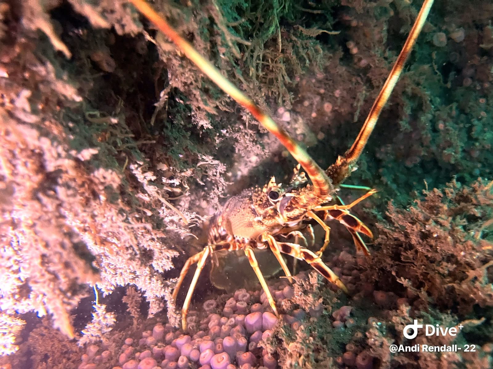
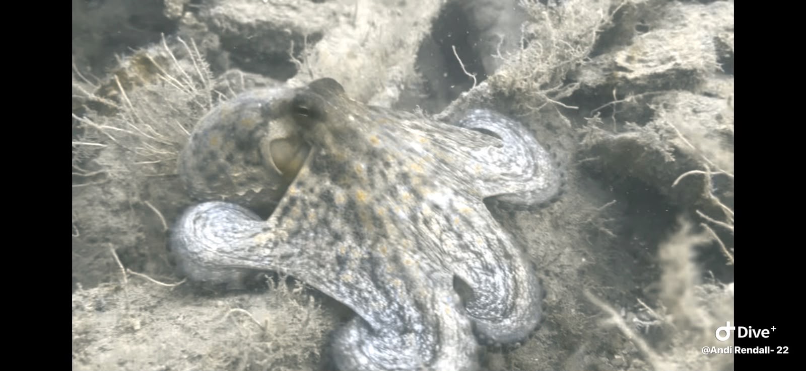
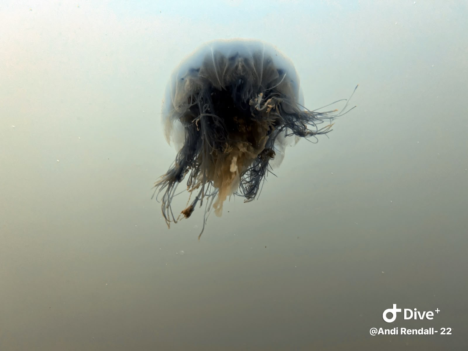
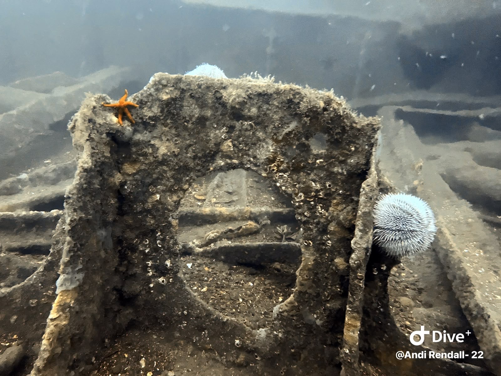
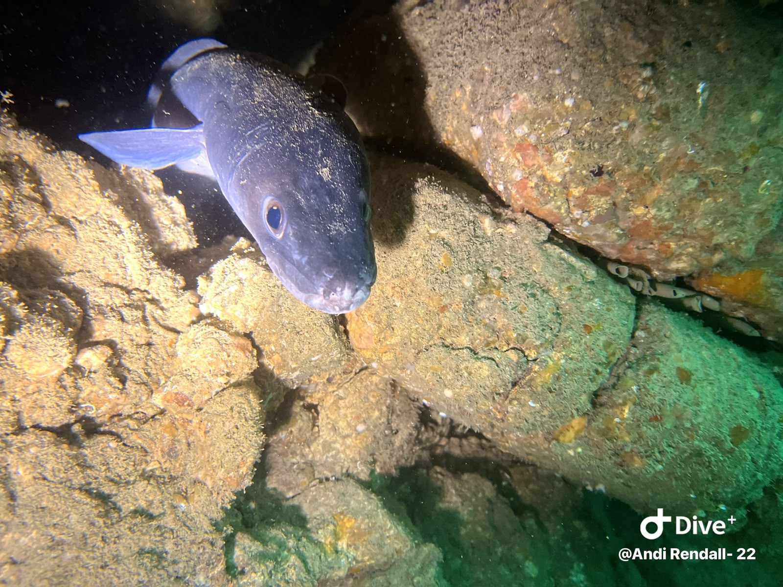
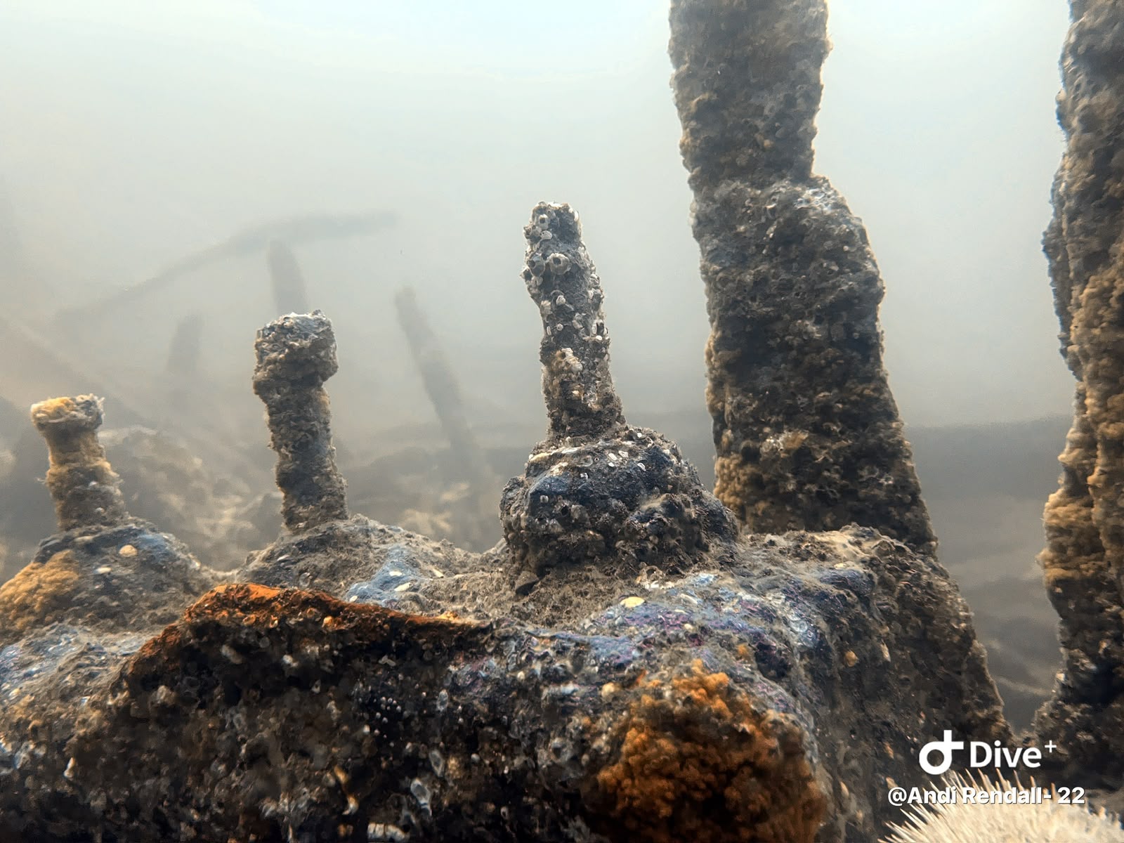
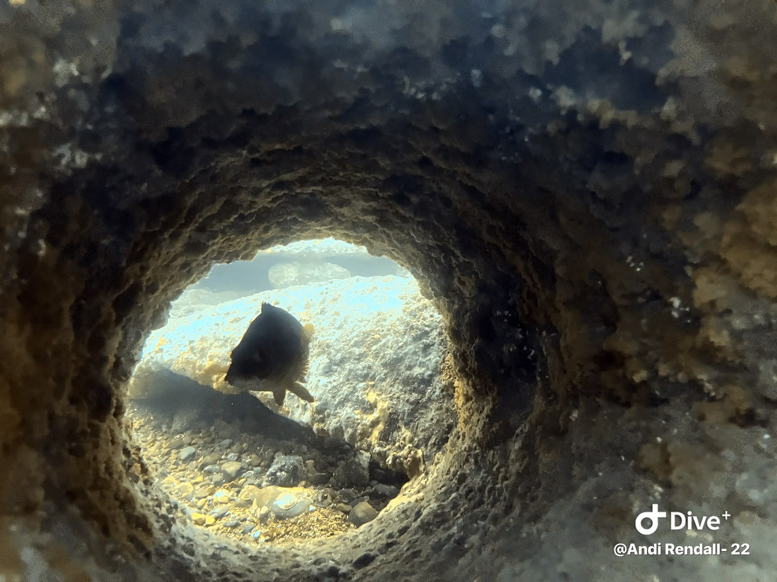
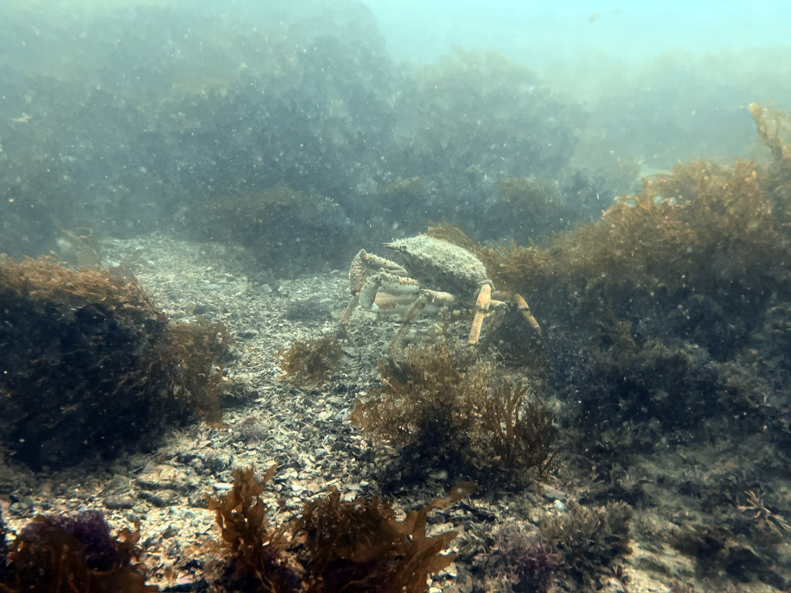
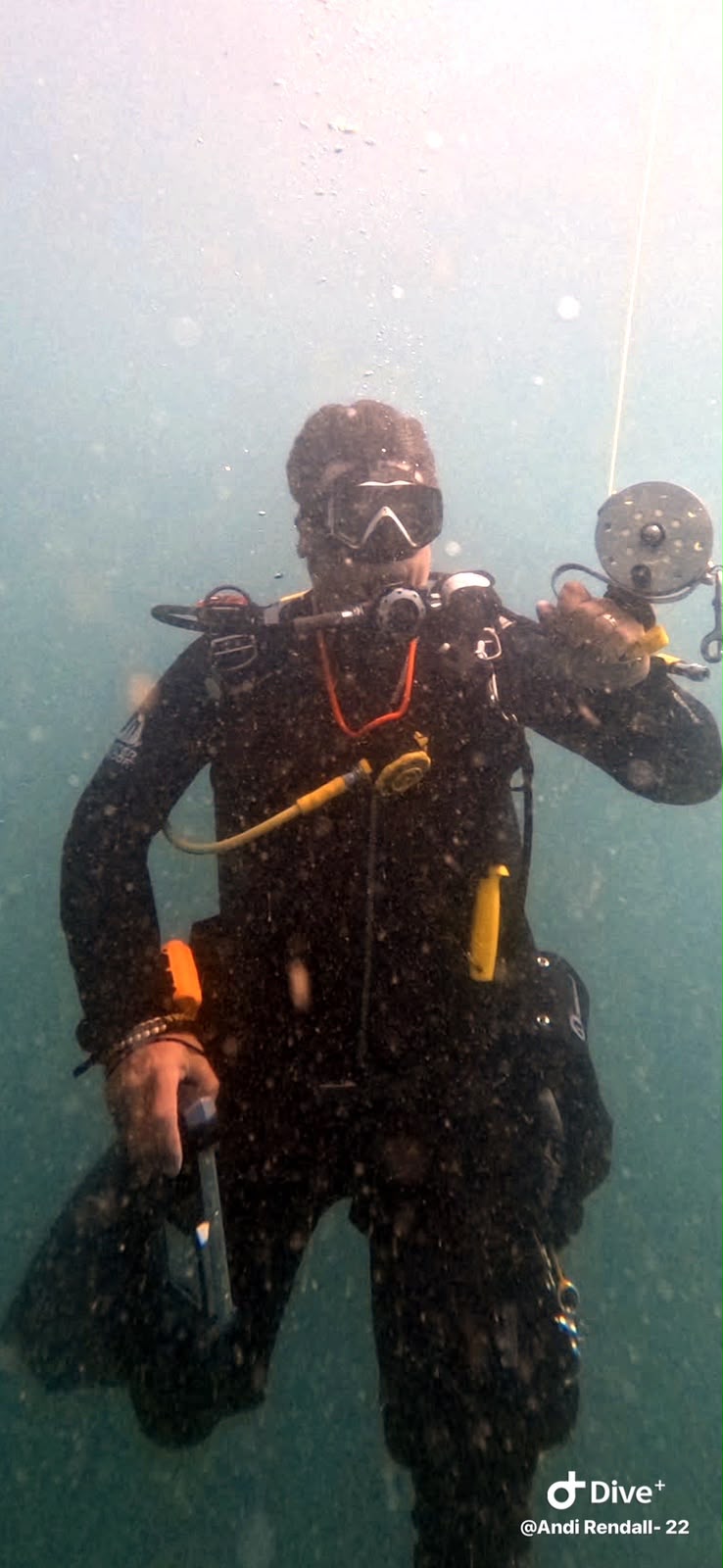
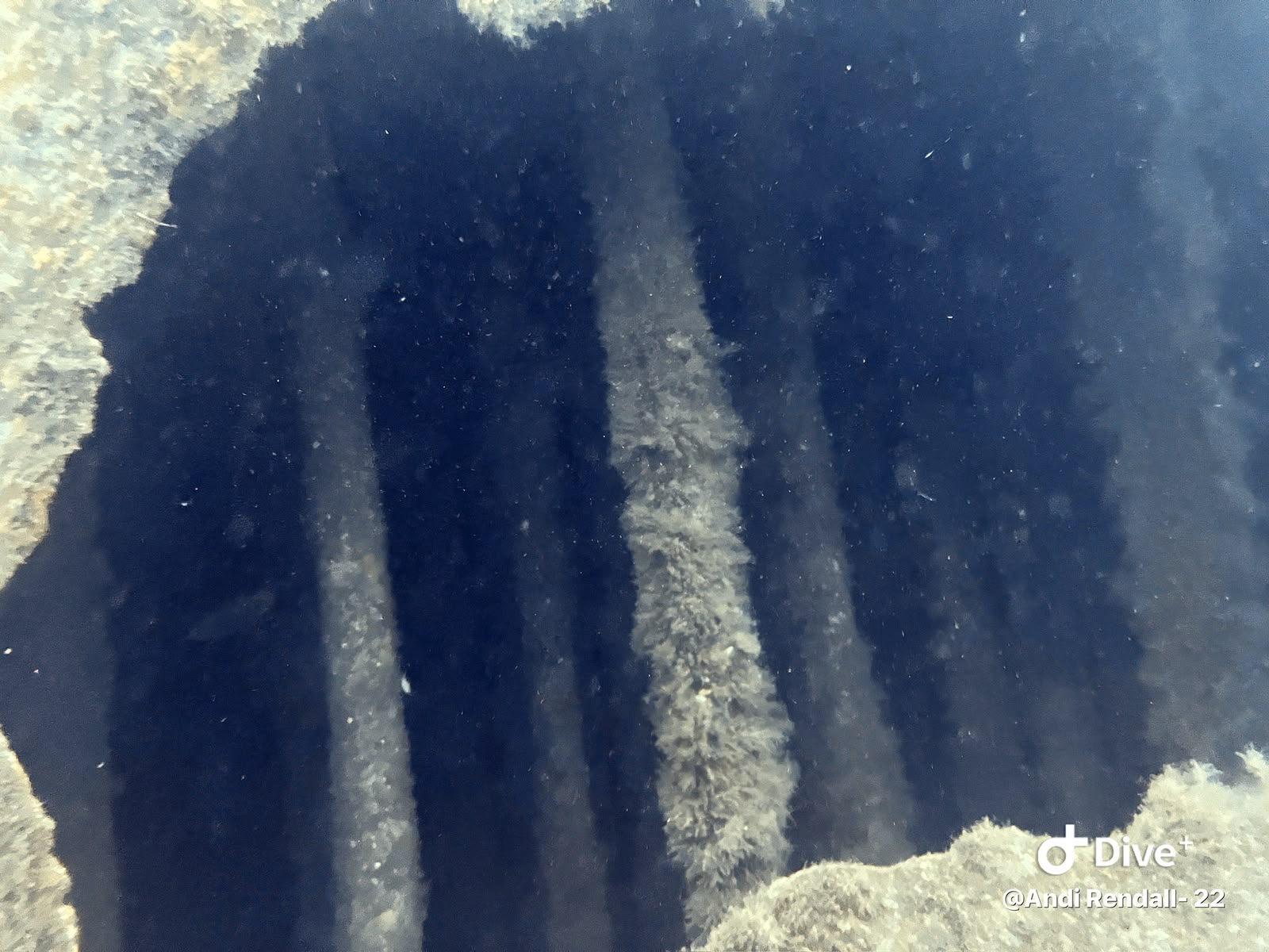
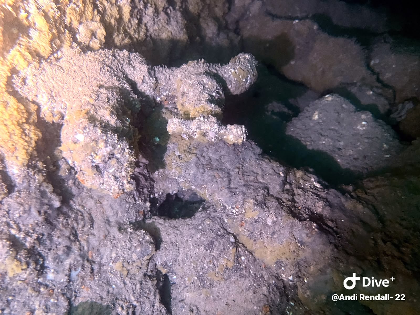
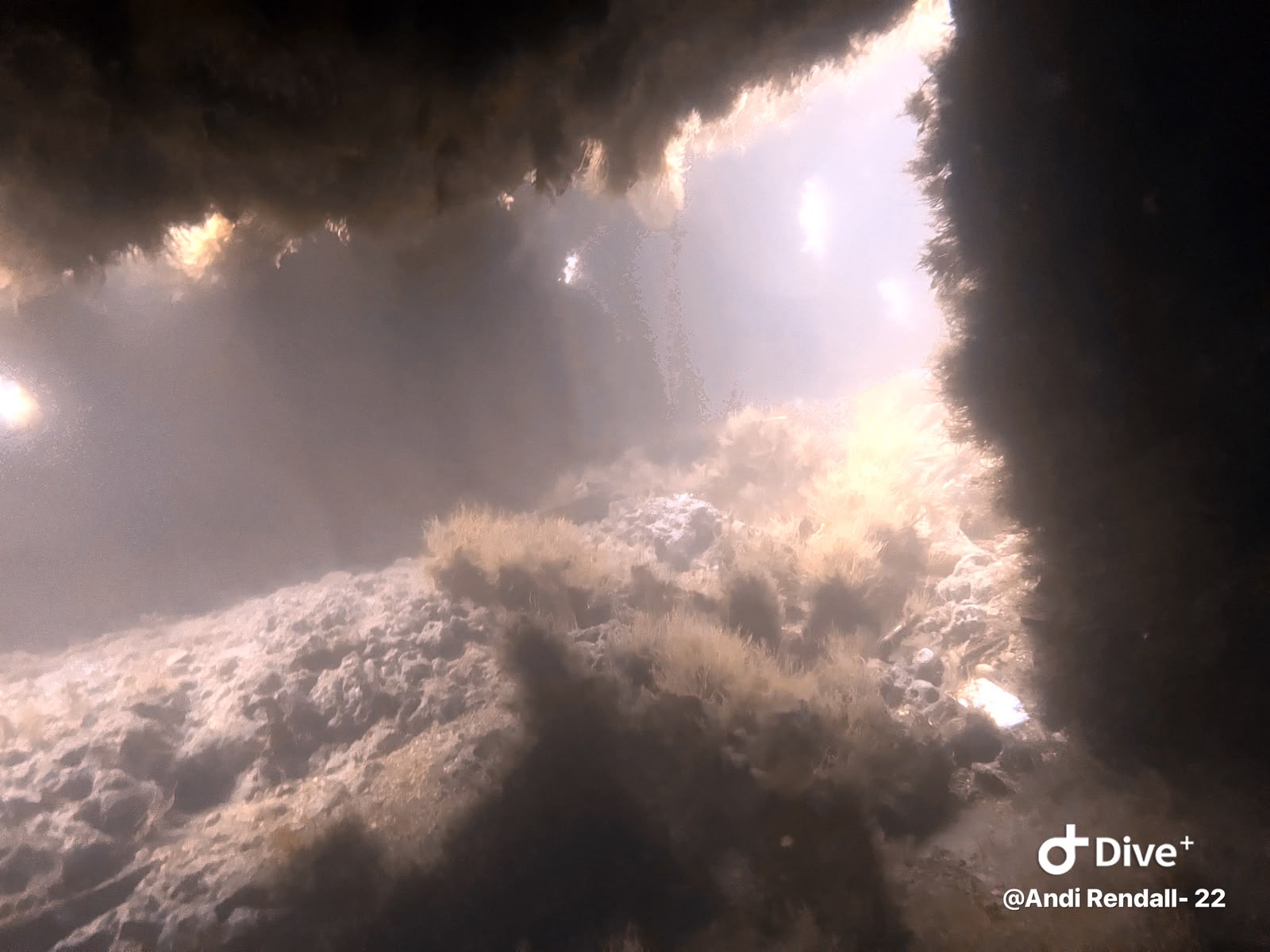
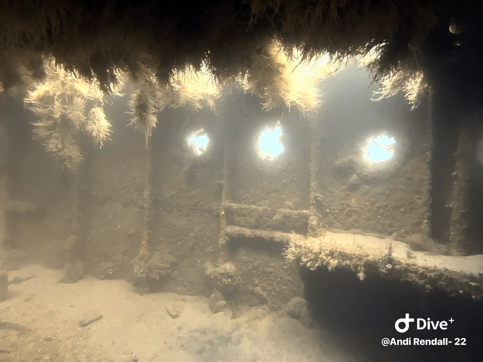
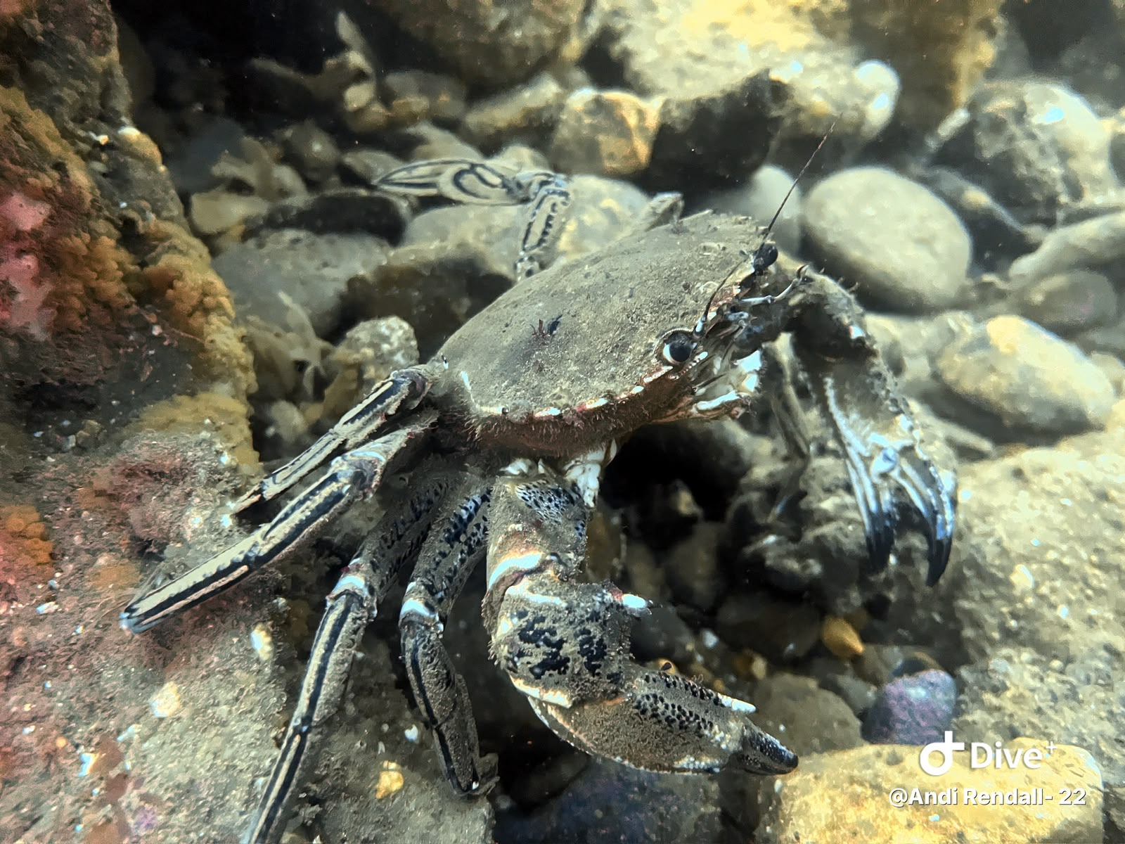
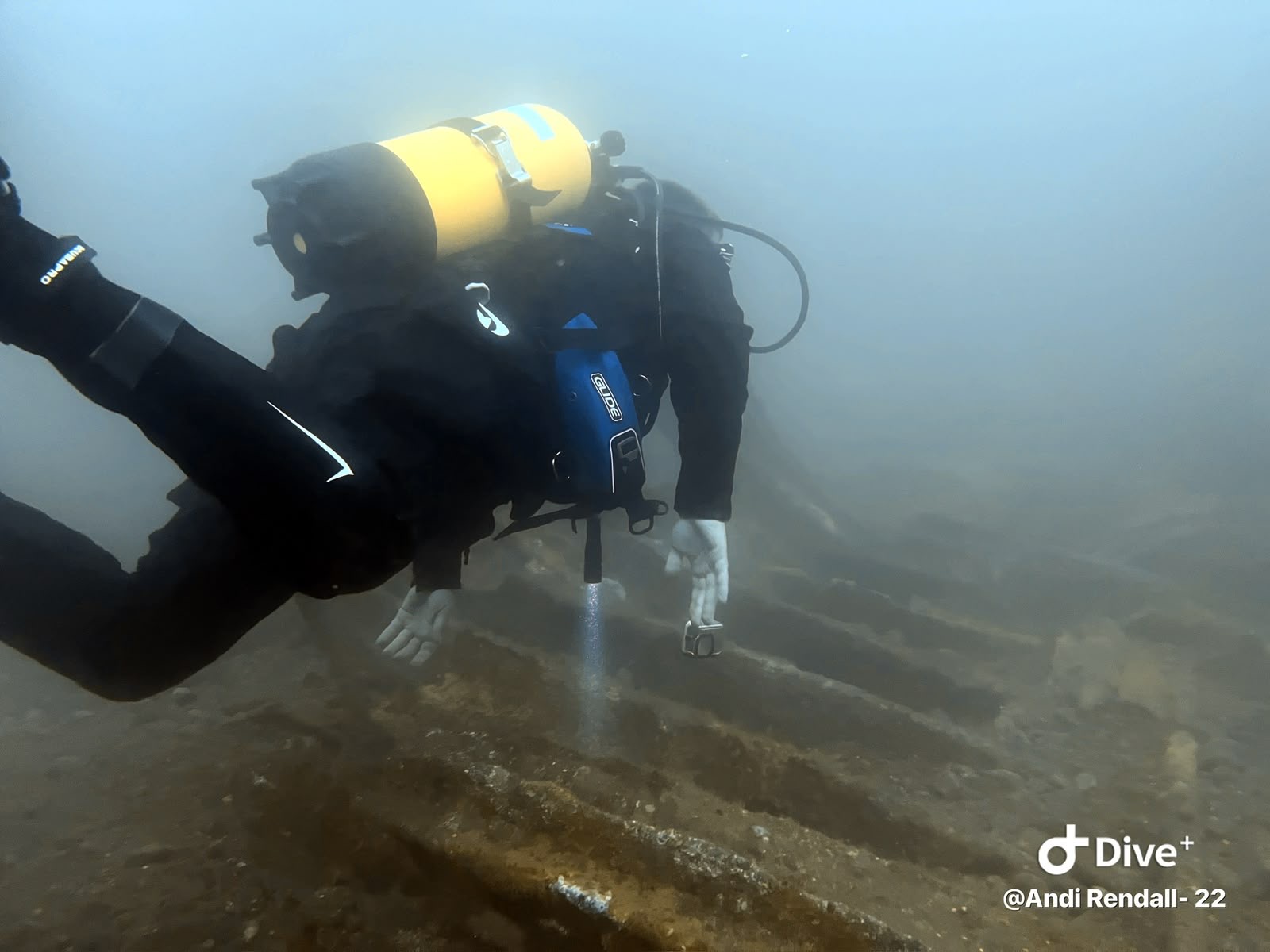
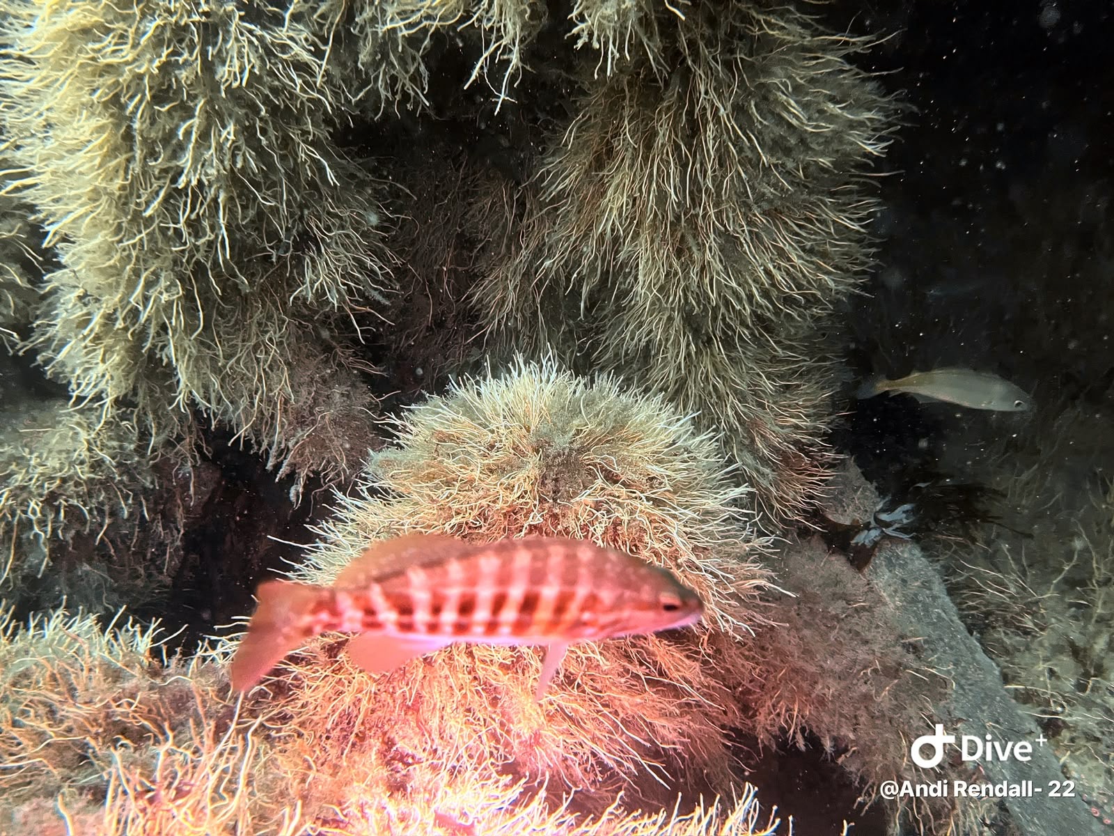
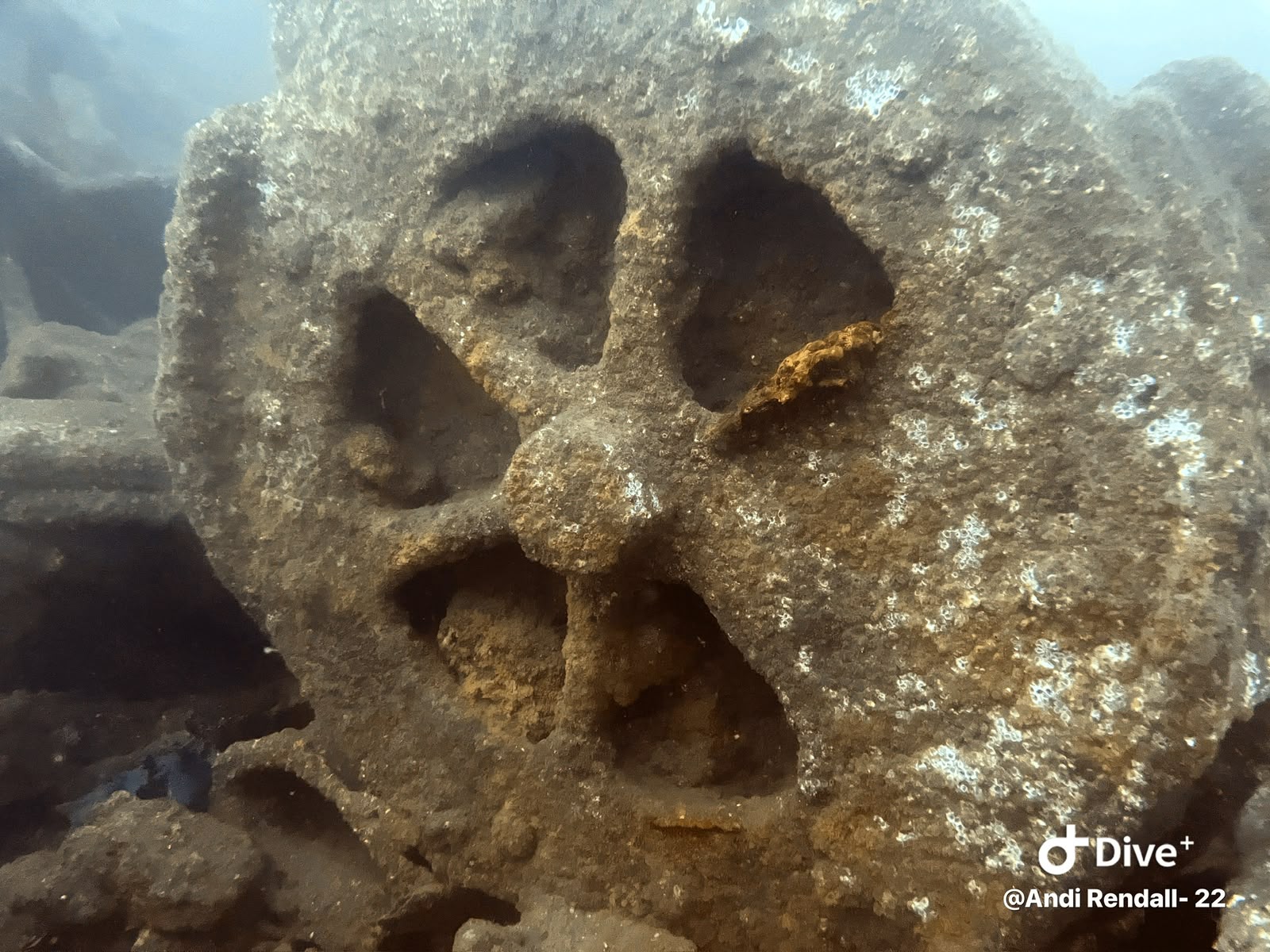
The guide uses credited photographs of the nearby coastline and historic photographs of the named ships. Each caption says what is shown. The photo journal features supplied diving photographs; their locations have not yet been matched to the sites in this guide.

Where does the research come from?

Sources include Historic England, Scarborough Sub Aqua Club’s Real Reefs project, East Cheshire Sub-Aqua Club and published wreck records. Links are included with each site. Research checked on 9 October 2026; the original dates of surveys and reports still matter.